
When discussing remote sensing, many people think straight to satellites, GoogleEarth and the famous ‘blue marble’ photo taken by NASA in 1972 by Apollo 17 (Stockli et al, 2007). Before embarking on this module, I must admit I held the same views. I had only a very brief but interesting experience with remote sensing but more specifically with GIS systems. While on work experience with the Environment Agency, I was tasked with flood-plain mapping and how this would affect insurance for different homes. Since then, I have been keen to enhance my understanding of geospatial information and remote sensing as it is central to twenty-first century life and a key skill for the workplace.
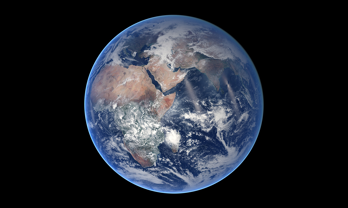
Figure 1: The famous Blue Marble photograph (NASA, 2014).
After a few weeks of the course, it is evident that remote sensing encapsulates much to do with contemporary human and physical geography than first imagined. Remote sensing is more important than ever to study due to its interdisciplinary nature and direct consequences on our techno-centric lives. This blog is a method by which I will document my learning process about spatial data, summarise key articles and pose questions which I find interesting. I am excited to embark on my first few posts and really develop my learning on remote sensing.
NB: A full reference list and word count will be completed and accessible as a final blog post.
